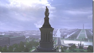
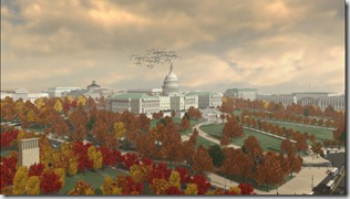
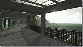
In September of 2009 we worked on a federal government project, for a series of animations and mini-documentaries related to the US Capitol. These were to be used for various visitor education and information needs.
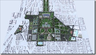
We were tasked with constructing 19 detailed buildings, and detail and landscape a large area of the capitol. We also had to construct a much larger area of city in a lower detail fashion, representing roughly a 2 mile by 2 mile area. We would then need to generate 20 different animations, 2 stereoscopic animations, 2 mini documentaries, 2 interactive maps, and a real-time 3D experience not detailed here.
With the agency’s help we collected thousands of reference images of the structures, street layouts, and the Capitol mall, and organized them in to sections. We also used Google Street View to capture ground reference before our first trip out to Washington DC.
Each team member modeled one or more detailed structures, as well as had assignments landscaping, animating vehicles, placing human figures within assigned areas.
This ‘set building’ took the entire team about 4 months to complete with smaller construction assignments following as we identified improvements that needed to be made.
During that time most of the team went out to Washington, DC to meet with the agency, and get a ground level view of what we were building. We took back a lot of new information that needed to be incorporated in to the complex set.
The final scene file consisted of more than 20 million triangulated polygons, and 60GB of texture memory. Since only an extreme machine could handle a scene of that complexity, if any, we scripted some controls to help manage the scene complexity near the camera – enabling us to animate and render the massive scene files on our workstations and laptops where traditional techniques may have required rendering many layers in order to handle the enormous scene size and mapped texture images.
These controls were applied to every detailed structure as well as each major scene element such as landscape zones and vehicle groups.
To animate traffic, we prepared some 20 varieties of low polygon car models, and animated hidden traffic signals at each intersection. This would allow each team member to animate certain streets without worrying about collisions with other team member’s work. In the end over 600 vehicles were animated for the scene.
For the remaining 10 months, a few of us worked on the lighting, animation, rendering, and editing. We enlisted additional help for the real-time 3D part of the project. The animations varied from about 45 seconds, to 3 1/2 minutes each.
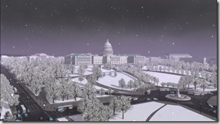
Many of the animations featured specific structures, or groups of structures, or paths to the capitol. We also animated a night-time rendition of the capitol, as well as a time lapse to show how the capitol looks in each of the four seasons.
Two of the animations were rendered in Stereo 3D – if you are wearing common Anaglyphic Red/Green glasses, you can see a few seconds of those animations here.
The mini documentaries would run about 5 minutes each and feature additional images and video, and effect shots suited to the narration. The documentary on the history and construction of the Capitol building was the most involved. We collected some historical texts and photos, and modeled the construction of several phases of the building.
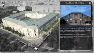
After the animations were completed, we developed an interactive Flash experience around most of the Capitol structures, which contained additional information and images for each location. We were able to use the same animation scene resources to produce transitions for the flash tour.
You can see many of the animations and documentaries at full length at this URL.


